2019 launched GK-2A transmits the number of weather and ocean
information via UHRIT(X-Band), HRIT(L-Band), and
LRIT(L-Band).
Korea Meteorological Administration especially proposed the
marine weather broadcast service(LRIT) satellite(GK-2A) for
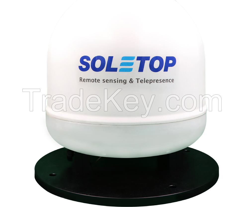
maritime safety and disaster prevention. SOLETOP designed
and manufactured the WeatherSAT" to meet the need for these
critical applications in the region.
This system is the first of its kind to take advantage of
unique GK-2A satellite data products for
the maritime community.
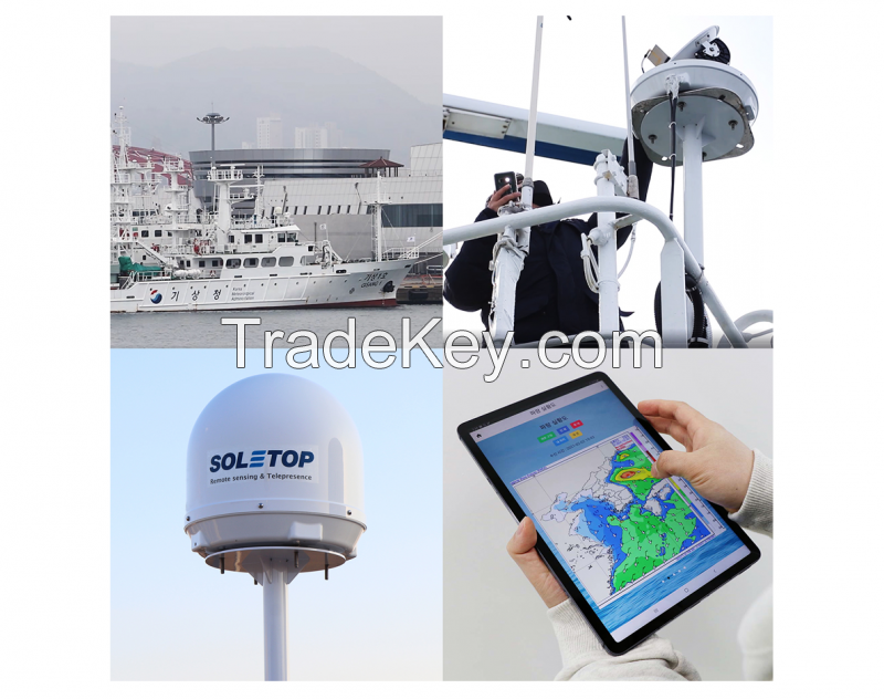
It is designed to be simple to install and use by deploying Wi-Fi
technology, smartphone, and its apps.
The update can be easily implemented through the existing
app store(Android and IOS). Satellite television signals can also
be received and merged on display upon
availability.
WeatherSAT operates 7/24 hours a day, 365 days a year(every 10
minutes) continuously providing critical weather
and oceanographic information.
This system can be a great alternative to replacing outdated
WeatherFax technology and more.
· Free service
· Wide service area(Asia, Oceania, and the West Pacific)
· Antenna deploys patent pending Microstrip feed technology with
a parabolic reflector
· Ocean environment ready, RF/EMF hardened
· Minimum installation effort~Small footprint, lightweight
antenna enables low-cost installation on any size vessels
· Displays diverse weather contents from GK-2A produced
products
· Use Smartphone Apps to control and display
· 7/24/365 operation(Transmission in every 10 minutes)
· Capability to transmit Audio, text, and images
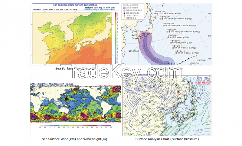
· Current transmission includes the following Weather
products Satellite Image, Surface Chart(Analysis, forecast),
500hPa Chart(Analysis, forecast), Wave Chart(Analysis,
forecast), Global Sea Surface Wind & Waveheight Chart, Sea
Ice Chart, Sea Surface Temperature Chart, Typhoon
Information.
· Waterproof, salt spray, temperature rated for marine
environment


