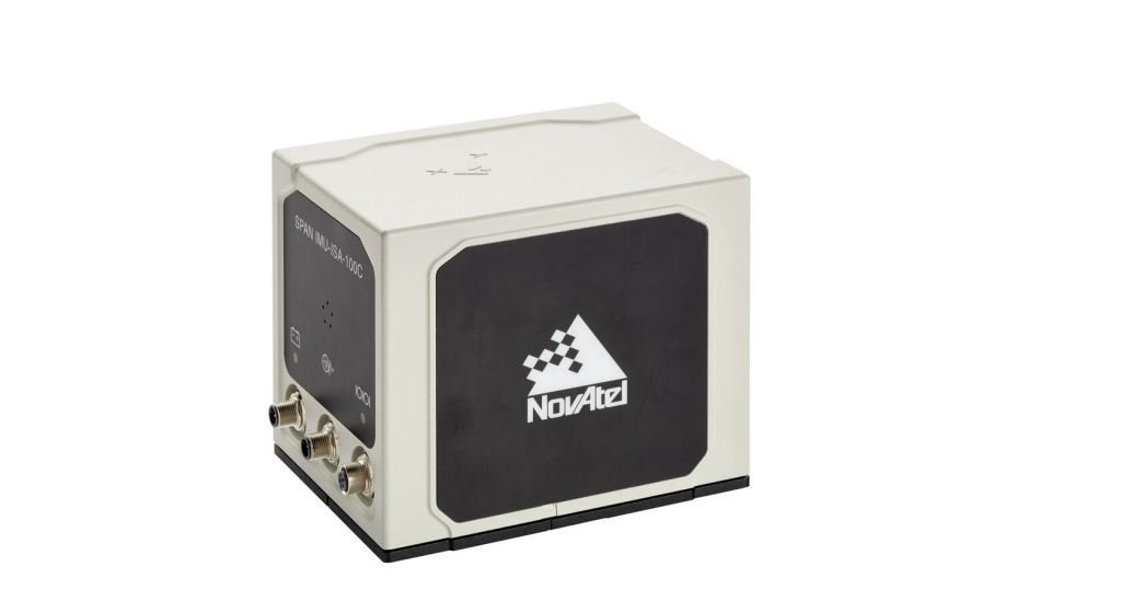
Description
We supply reliable to cost-effective
INS products:
Pwrpak*-E1, Pwrpak7D-E1, Pwrpak*-E2,
Pwrpak7D-E2,CPT7,CPT***0,P****0,EG**0N,EG**0N,STIM**0,HG***0,HG***0,HG***0,
IMU-IC,LN**0,ISA***0C
AP*5,AP*0+,AP*0+,AV**0,AV**0
Also,We can
design as you need
What is an inertial navigation system?
inertial navigation system (INS) is comprised of an IMU, a
global navigation satellite system (GNSS) receiver and sensor
fusion software. These components work together to calculate
position, orientation, and velocity to deliver critical navigation
information in GNSS-denied areas like urban canyons, bridges,
tunnels, mountains, parking garages and dense forests.
IMU is used to compute how an object has moved through
three-dimensional space, what direction its heading and how fast
its going. An INS often receives data from a global
navigation satellite system (GNSS) receiver and fuses it with data
from the IMU to provide information to the host computer about the
platforms absolute position (latitude, longitude, and altitude) and
attitude (roll, pitch, and heading). The host computer on the
platform (for example, an autonomous vehicle) then uses that
information to complete its mission.
On the other hand, its important to note that an
The INS was one of the biggest game-changers in
the history of navigation, freeing us from the days when aviators
flew by the stars or relied on magnetic compasses and gimballed
gyroscopes, which had severe limitations especially near the poles.
Once INS solutions were installed on aircraft, they enabled a
massive breakthrough by providing flight crews with unprecedented
levels of situational awareness.
Since being proven in a host of
aerospace applications, INS capabilities are now making inroads in
the industrial world. For example, innovators are applying
INS-based technologies to autonomous vehicles and in fields as
diverse as manufacturing, robotics, mobile mapping, oil and gas, and
mining.
